A private guide, August 2026

Should we move to Asheville?

Thirteen neighborhoods, researched the way we'd actually decide: walkability, coffee, food and breweries, grocery access, cost, and everyday vibe first, with riding access weighed in as one factor among several. Honest takes, not real-estate copy.

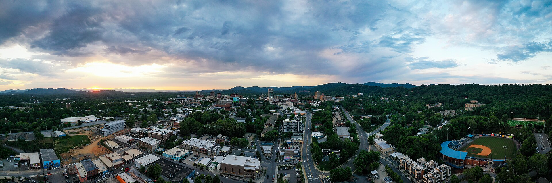
Downtown Asheville aerial at sunset

In the city

Closest to downtown, the tightest daily-life radius.

West Asheville
Walkable, artsy, and unpretentious, with the shortest Bent Creek drive as a bonus
West of downtown
River Arts District
Best food and beer scene of the three, but an active flood recovery to weigh
South of downtown
Montford
The prettiest streets in town, at the highest price
North of downtown
North Asheville / Grove Park
The best grocery run in town, wrapped in old-money quiet, but a car for every errand
North of downtown
Downtown / Historic Core
The only walkable, car-optional neighborhood, with the best food scene in the city
City center
Kenilworth
Quiet, historic, and hidden in plain sight
Southeast of downtown
Biltmore Village
Postcard-pretty and walkable, but barely a neighborhood at all
South of downtown
Arden / Skyland
The logistics winner: airport, grocery, and errands, in a strip-mall suburb
South Asheville

Out in the valleys

Their own towns, longer drives to the marquee trails, real character.

Haw Creek
Genuine valley charm and quiet, but a car for absolutely everything
East Asheville
East Asheville / Oteen
The clearest home-price value in the guide, in a quiet, car-dependent suburb
East of downtown
Weaverville
Mountain Mayberry: the most walkable small-town Main Street of the four
North of Asheville
Black Mountain
The most walkable small-town downtown of the four, with real local trail access too
East of Asheville
Fairview
Land, quiet, and farm country, with the thinnest grocery and walkability of the four
Southeast of Asheville

Getting to the trails

For when riding is part of the picture: where the actual mountain biking is, and how the trail systems relate to where you'd live.

The Trail Map
Bent Creek, DuPont, Pisgah, Kolo. What they are, how far, and who's actually close.
Reference
Ask about this guide
Ask me anything about the neighborhoods, trails, or how they compare. I only know what's in this guide.